Higher Ninestones Works Clay Quarry (United Kingdom)
Information, history photographs (current and archive) and documents for Higher Ninestones Works Clay Quarry.
Photos of Higher Ninestones Works Clay Quarry
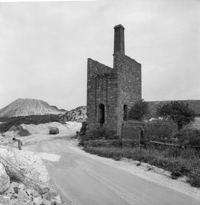
Historic Photographs Of Higher Ninestones Works
(1 photo)
Last updated January 29th 2019 by
Dickie Bird

Photographs Of Higher Ninestones Works
(0 photos)
Last updated March 17th 2009 by
ICLOK
Google Earth Map of Higher Ninestones Works Clay Quarry
Other location/mapping information:
Latitude: 50.3729
Longitude: -4.7985
Landranger grid reference: SX011563
Easting: 201100
Northing: 056300