High Royd Coal Colliery (United Kingdom)
Information, history photographs (current and archive) and documents for High Royd Coal Colliery.
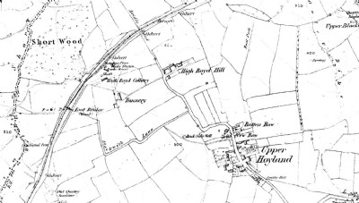
Photos of High Royd Coal Colliery
Historic Photographs Of High Royd
(1 photo)
Last updated August 11th 2013 by
skiprat

Photographs Of High Royd
(0 photos)
Last updated July 6th 2012 by
LeeW
Google Earth Map of High Royd Coal Colliery
Other location/mapping information:
Latitude: 53.5096296951199
Longitude: -1.46313423154372
Landranger grid reference: SE356016
Easting: 435600
Northing: 401600