High Ringleton Lead Mine (United Kingdom)
Information, history photographs (current and archive) and documents for High Ringleton Lead Mine.
Photos of High Ringleton Lead Mine
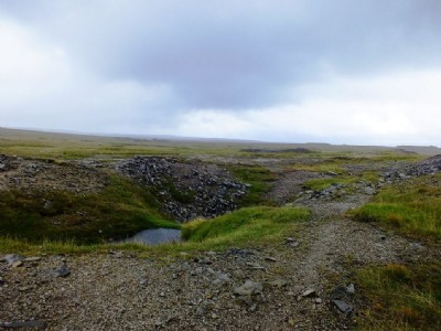
Photographs Of High Ringleton
(3 photos)
Last updated August 26th 2013 by
LeeW

Historic Photographs Of High Ringleton
(0 photos)
Last updated August 8th 2013 by
christwigg
Google Earth Map of High Ringleton Lead Mine
Other location/mapping information:
Latitude: 54.1023375187004
Longitude: -1.9593126701487
Landranger grid reference: SE026674
Easting: 402600
Northing: 467400