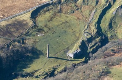
Henllys Vale (Black Mountain) Coal Colliery (United Kingdom)
Photos of Henllys Vale Coal Colliery

Historic Photographs Of Henllys Vale
(1 photo)
Last updated April 5th 2012 by
Lister
Photographs Of Henllys Vale
(1 photo)
Last updated April 5th 2012 by
Lister
Google Earth Map of Henllys Vale Coal Colliery
Other location/mapping information:
Latitude: 51.8089554574428
Longitude: -3.7963660678028
Landranger grid reference: SN761138
Easting: 276100
Northing: 213800