Hanham Colliery Coal Mine (United Kingdom)
Information, history photographs (current and archive) and documents for Hanham Colliery Coal Mine.
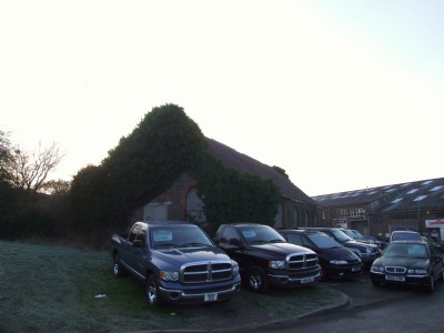
Photos of Hanham Colliery Coal Mine
Photographs Of Hanham Colliery
(5 photos)
Last updated January 10th 2009 by
ICLOK

Historic Photographs Of Hanham Colliery
(0 photos)
Last updated January 10th 2009 by
ICLOK
Google Earth Map of Hanham Colliery Coal Mine
Other location/mapping information:
Latitude: 51.4458
Longitude: -2.52372
Landranger grid reference: ST637720
Easting: 363700
Northing: 172000