Hall O'lee Colliery Coal Mine (United Kingdom)
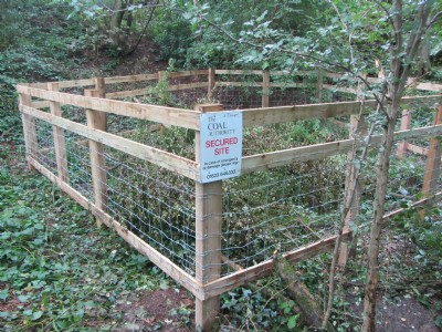
There are the remains of the tramway to the mine leading up from the Macclesfield Canal and under the Macclesfield to Stoke Railway to the SE. There is a fine high tramway embankment with a superb brick culvert passing through it. There is also the remains of a tramway/railway junction. Once the woods are reached heading SE the mine hillock can be seen on right atop of which there are some good brick and cement remains of the mines former winding house.
Photos of Hall O'lee Colliery Coal Mine
Photographs Of Hall O'lee Colliery
(2 photos)
Last updated September 13th 2014 by
larker

Hall O'lea Colliery Visit
(18 photos)
Last updated July 29th 2012 by
ICLOK

Historic Photographs Of Hall O'lee Colliery
(0 photos)
Last updated July 29th 2012 by
ICLOK
Google Earth Map of Hall O'lee Colliery Coal Mine
Other location/mapping information:
Latitude: 53.1051633354552
Longitude: -2.23602982532068
Landranger grid reference: SJ842565
Easting: 384200
Northing: 356500