Hafod Las (Betws) Slate Mine (United Kingdom)
Information, history photographs (current and archive) and documents for Hafod Las (Betws) Slate Mine.
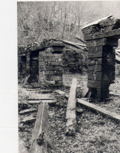
Photos of Hafod Las (Betws) Slate Mine

Hafod Las 1986-88
(32 photos)
Last updated May 21st 2010 by
grahami
Historic Photographs Of Hafod Las
(2 photos)
Last updated January 9th 2008 by
Wyn

Photographs Of Hafod Las
(3 photos)
Last updated November 28th 2007 by
Gwyn
Google Earth Map of Hafod Las (Betws) Slate Mine
Other location/mapping information:
Latitude: 53.089
Longitude: -3.82463
Landranger grid reference: SH779562
Easting: 277900
Northing: 356200