Gwennap United ( 1901 ) Mixed Mine (United Kingdom)
In 1901 a company was set up to treat the dumps and any ore above adit of the former United and Consolidated mines. After thousands of pounds had been spent it ended in complete failure
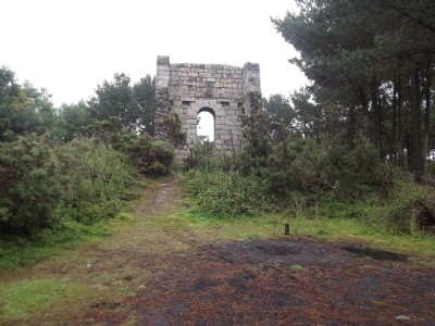
Photos of Gwennap United ( 1901 ) Mixed Mine
Photographs Of Gwennap United ( 1901 )
(18 photos)
Last updated January 16th 2017 by
ICLOK

Historic Photographs Of Gwennap United ( 1901 )
(4 photos)
Last updated January 1st 2015 by
spitfire
Google Earth Map of Gwennap United ( 1901 ) Mixed Mine
Other location/mapping information:
Latitude: 50.2315
Longitude: -5.15764
Landranger grid reference: SW749416
Easting: 174900
Northing: 041600