Gurnards Head (North United) Mixed Mine (United Kingdom)
Parish: ZENNOR
Data courtesy of Roy Fellows and Roy Morton
Photos of Gurnards Head Mixed Mine
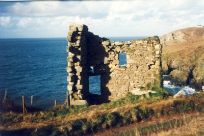
Photographs Of Gurnards Head
(5 photos)
Last updated February 27th 2012 by
sputnam

Historic Photographs Of Gurnards Head
(0 photos)
Last updated August 21st 2009 by
DougCornwall
Google Earth Map of Gurnards Head Mixed Mine
Other location/mapping information:
Latitude: 50.1882
Longitude: -5.59196
Landranger grid reference: SW437382
Easting: 143700
Northing: 038200