Gunnislake Clitters Mixed Mine (United Kingdom)
Parish: CALSTOCK
Data courtesy of Roy Fellows and Roy Morton
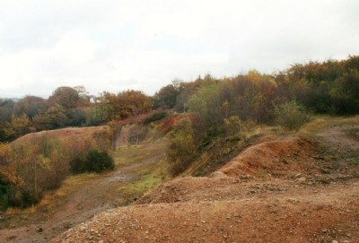
Photos of Gunnislake Clitters Mixed Mine

Photographs Of Gunnislake Clitters
(61 photos)
Last updated November 7th 2013 by
LeeW
Historic Photographs Of Gunnislake Clitters
(2 photos)
Last updated June 25th 2009 by
ICLOK
Google Earth Map of Gunnislake Clitters Mixed Mine
Other location/mapping information:
Latitude: 50.5291
Longitude: -4.22778
Landranger grid reference: SX422723
Easting: 242200
Northing: 072300