Gubbins Hole Mine Lead Trial (United Kingdom)
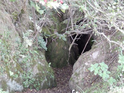
Small trial lead mine in old limestone quarry. Open adit with approx 60 feet of passage ending in a blind heading
Photos of Gubbins Hole Mine Lead Trial
Photographs Of Gubbins Hole Mine
(10 photos)
Last updated September 27th 2014 by
lipsi

Historic Photographs Of Gubbins Hole Mine
(0 photos)
Last updated September 27th 2014 by
lipsi
Google Earth Map of Gubbins Hole Mine Lead Trial
Other location/mapping information:
Latitude: 53.0546322967997
Longitude: -1.68367217212876
Landranger grid reference: SK212509
Easting: 421200
Northing: 350900