Greyfield Colliery Coal Mine (United Kingdom)
Information, history photographs (current and archive) and documents for Greyfield Colliery Coal Mine.
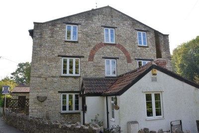
Photos of Greyfield Colliery Coal Mine
Historic Photographs Of Greyfield Colliery
(2 photos)
Last updated August 13th 2016 by
ICLOK

Photographs Of Greyfield Colliery
(0 photos)
Last updated January 27th 2009 by
ICLOK
Google Earth Map of Greyfield Colliery Coal Mine
Other location/mapping information:
Latitude: 51.3257563492274
Longitude: -2.51672010854602
Landranger grid reference: ST640587
Easting: 364000
Northing: 158700