Greenhead Gill Lead Mine (United Kingdom)
Information, history photographs (current and archive) and documents for Greenhead Gill Lead Mine.
Photos of Greenhead Gill Lead Mine
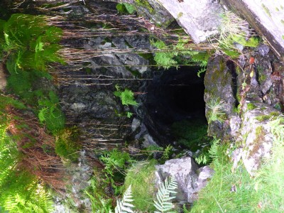
Photographs Of Greenhead Gill
(6 photos)
Last updated September 5th 2015 by
Hattlebags

Historic Photographs Of Greenhead Gill
(0 photos)
Last updated September 12th 2007 by
Captain Scarlet
Google Earth Map of Greenhead Gill Lead Mine
Other location/mapping information:
Latitude: 54.4676
Longitude: -3.01056
Landranger grid reference: NY346085
Easting: 334600
Northing: 508500