Great Wheal Lovell Mixed Mine (United Kingdom)
Parish: WENDRON
Data courtesy of Roy Fellows and Roy Morton
Photos of Great Wheal Lovell Mixed Mine
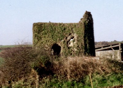
Photographs Of Lovell Great
(1 photo)
Last updated July 19th 2018 by
Saundry1946

Historic Photographs Of Lovell Great
(0 photos)
Last updated December 31st 2007 by
royfellows
Google Earth Map of Great Wheal Lovell Mixed Mine
Other location/mapping information:
Latitude: 50.1286
Longitude: -5.23202
Landranger grid reference: SW691304
Easting: 169100
Northing: 030400