Grange Colliery Coal Mine (United Kingdom)
Information, history photographs (current and archive) and documents for Grange Colliery Coal Mine.
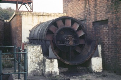
Photos of Grange Colliery Coal Mine

Grange Colliery - As At 01.08.2011
(0 photos)
Last updated August 3rd 2011 by
ICLOK
Historic Photographs Of Grange
(2 photos)
Last updated May 7th 2011 by
simonrail

Photographs Of Grange
(7 photos)
Last updated April 16th 2008 by
mad about mining
Google Earth Map of Grange Colliery Coal Mine
Other location/mapping information:
Latitude: 52.6992333240357
Longitude: -2.40699050336388
Landranger grid reference: SJ725114
Easting: 372500
Northing: 311400