Gilmilnscroft No.6 Coal Pit (United Kingdom)
Information, history photographs (current and archive) and documents for Gilmilnscroft No.6 Coal Pit.
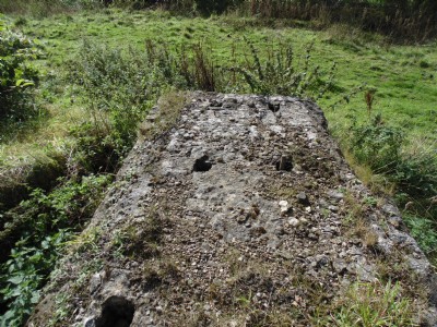
Photos of Gilmilnscroft No.6 Coal Pit
Photographs Of Gilmilnscroft No.6
(3 photos)
Last updated October 13th 2017 by
Rab.

Historic Photographs Of Gilmilnscroft No.6
(1 photo)
Last updated October 13th 2017 by
Rab.
Google Earth Map of Gilmilnscroft No.6 Coal Pit
Other location/mapping information:
Latitude: 55.4830941063227
Longitude: -4.28216638434142
Landranger grid reference: NS558234
Easting: 255800
Northing: 623400