Gidlow Colliery (No 1 & 2 Pits) Coal Mine (United Kingdom)
Information, history photographs (current and archive) and documents for Gidlow Colliery (No 1 & 2 Pits) Coal Mine.
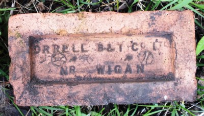
Photos of Gidlow Colliery (No 1 & 2 Pits) Coal Mine
Visit To Gidlow Pits
(17 photos)
Last updated May 24th 2013 by
ICLOK

Historic Photographs Of Gidlow Colliery (No 1 & 2 Pits)
(0 photos)
Last updated May 24th 2013 by
ICLOK
Photographs Of Gidlow Colliery (No 1 & 2 Pits)
(0 photos)
Last updated May 24th 2013 by
ICLOK
Google Earth Map of Gidlow Colliery (No 1 & 2 Pits) Coal Mine
Other location/mapping information:
Latitude: 53.5666213600431
Longitude: -2.64631400324278
Landranger grid reference: SD572080
Easting: 357200
Northing: 408000