Garforth (Trench Pit) Coal Colliery (United Kingdom)
Information, history photographs (current and archive) and documents for Garforth (Trench Pit) Coal Colliery.
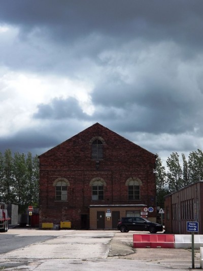
Photos of Garforth (Trench Pit) Coal Colliery
Photographs Of Garforth (Trench Pit)
(1 photo)
Last updated June 24th 2012 by
LeeW

Historic Photographs Of Garforth (Trench Pit)
(0 photos)
Last updated June 19th 2012 by
LeeW
Google Earth Map of Garforth (Trench Pit) Coal Colliery
Other location/mapping information:
Latitude: 53.7878705216332
Longitude: -1.37457870594395
Landranger grid reference: SE412326
Easting: 441200
Northing: 432600