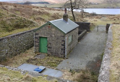
Gambleside Coal Colliery (United Kingdom)
tramway via Swinshaw Pit to staithe at Crawshawbooth
earliest date 1612 - closed 1936
Photos of Gambleside Coal Colliery
Photographs Of Gambleside
(3 photos)
Last updated March 27th 2013 by
tarboat

Historic Photographs Of Gambleside
(0 photos)
Last updated June 17th 2011 by
bchasd
Google Earth Map of Gambleside Coal Colliery
Other location/mapping information:
Latitude: 53.7454
Longitude: -2.26076
Landranger grid reference: SD829277
Easting: 382900
Northing: 427700