Florence & Tonkin Utd Mixed Mine (United Kingdom)
Parish: CALL'GTON
Data courtesy of Roy Fellows and Roy Morton
Photos of Florence & Tonkin Utd Mixed Mine
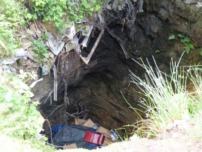
Photographs Of Florence & Tonkin Utd
(2 photos)
Last updated June 12th 2016 by
Scoggan

Historic Photographs Of Florence & Tonkin Utd
(0 photos)
Last updated December 31st 2007 by
royfellows
Google Earth Map of Florence & Tonkin Utd Mixed Mine
Other location/mapping information:
Latitude: 50.5114
Longitude: -4.30734
Landranger grid reference: SX365705
Easting: 236500
Northing: 070500