Flockton Lane End Coal Mine (United Kingdom)
Information, history photographs (current and archive) and documents for Flockton Lane End Coal Mine.
Photos of Flockton Lane End Coal Mine
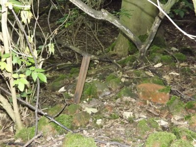
Photographs Of Flockton Lane End
(11 photos)
Last updated August 26th 2011 by
LeeW
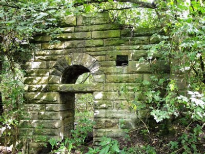
Flockton Lane End Colliery - Site Visit
(31 photos)
Last updated August 23rd 2011 by
ICLOK

Historic Photographs Of Flockton Lane End
(0 photos)
Last updated August 14th 2007 by
LeeW
Google Earth Map of Flockton Lane End Coal Mine
Other location/mapping information:
Latitude: 53.6318
Longitude: -1.61737
Landranger grid reference: SE254151
Easting: 425400
Northing: 415100