Englefield Colliery Coal Mine (United Kingdom)
Information, history photographs (current and archive) and documents for Englefield Colliery Coal Mine.
Photos of Englefield Colliery Coal Mine

Historic Photographs Of Englefield Colliery
(1 photo)
Last updated September 26th 2011 by
Lister
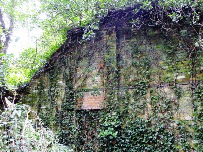
Photographs Of Englefield Colliery
(5 photos)
Last updated September 13th 2011 by
ICLOK
Google Earth Map of Englefield Colliery Coal Mine
Other location/mapping information:
Latitude: 53.2924886229884
Longitude: -3.21533814036552
Landranger grid reference: SJ190780
Easting: 319000
Northing: 378000