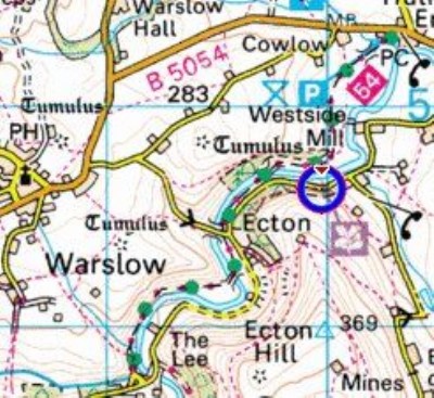
Ecton Hill (Bonsall Trials) Mixed Mine (United Kingdom)
The mine entry is for the group of shafts on the top of Ecton Hill between the Trig Point and Broad Ecton Farm. There are a number of shafts which are collectively known as Bonsall Trials.
For the other mine on Ecton use the correct mine entry in the database
Photos of Ecton Hill (Bonsall Trials) Mixed Mine
Photographs Of Ecton Hill
(26 photos)
Last updated December 14th 2014 by
Dickie Bird

Historic Photographs Of Ecton Hill
(0 photos)
Last updated September 12th 2007 by
Barney
Google Earth Map of Ecton Hill (Bonsall Trials) Mixed Mine
Other location/mapping information:
Latitude: 53.1169924796656
Longitude: -1.85206737442955
Landranger grid reference: SK099578
Easting: 409900
Northing: 357800