East St Ives Consols Mixed Mine (United Kingdom)
Parish: ST. IVES
Data courtesy of Roy Fellows and Roy Morton
Photos of East St Ives Consols Mixed Mine
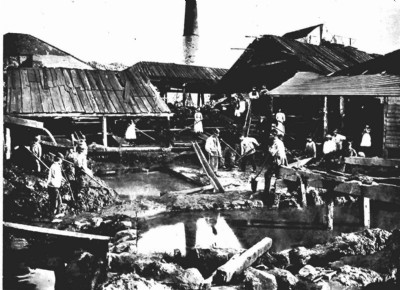
Historic Photographs Of St.Ives Consols East
(1 photo)
Last updated May 13th 2008 by
carnkie

Photographs Of St.Ives Consols East
(0 photos)
Last updated December 31st 2007 by
royfellows
Google Earth Map of East St Ives Consols Mixed Mine
Other location/mapping information:
Latitude: 50.212
Longitude: -5.4914
Landranger grid reference: SW510405
Easting: 151000
Northing: 040500