East Calstock Mixed Mine (United Kingdom)
Parish: CALSTOCK
Data courtesy of Roy Fellows and Roy Morton
Photos of East Calstock Mixed Mine
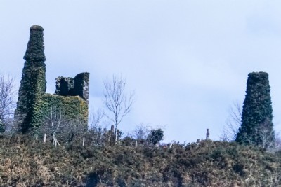
Photographs Of Calstock East
(1 photo)
Last updated December 31st 2020 by
tracyclimber

Historic Photographs Of Calstock East
(0 photos)
Last updated December 31st 2007 by
royfellows
Google Earth Map of East Calstock Mixed Mine
Other location/mapping information:
Latitude: 50.505
Longitude: -4.221
Landranger grid reference: SX426696
Easting: 242600
Northing: 069600