Dunsley Wheal Phoenix Mixed Mine (United Kingdom)
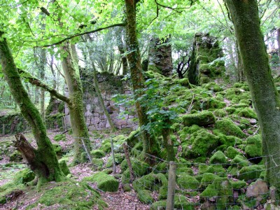
The Water Wheel and stamps plat were part of early workings of Dunsley Wheal Phoenix Mine, active 1852-60.
Photos of Dunsley Wheal Phoenix Mixed Mine
Photographs Of Dunsley Wheal Phoenix
(4 photos)
Last updated July 2nd 2012 by
Scoggan

Historic Photographs Of Dunsley Wheal Phoenix
(0 photos)
Last updated July 2nd 2012 by
Scoggan
Google Earth Map of Dunsley Wheal Phoenix Mixed Mine
Other location/mapping information:
Latitude: 50.518076457636
Longitude: -4.43640495410049
Landranger grid reference: SX273716
Easting: 227300
Northing: 071600