Drumgrange No.8 Pit Coal Shaft (United Kingdom)
Information, history photographs (current and archive) and documents for Drumgrange No.8 Pit Coal Shaft.
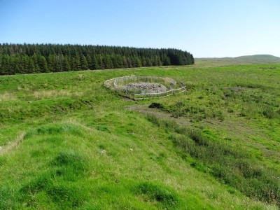
Photos of Drumgrange No.8 Pit Coal Shaft
Photographs Of Drumgrange No.8 Pit
(2 photos)
Last updated August 15th 2020 by
Rab.

Historic Photographs Of Drumgrange No.8 Pit
(0 photos)
Last updated August 15th 2020 by
Rab.
Google Earth Map of Drumgrange No.8 Pit Coal Shaft
Other location/mapping information:
Latitude: 55.3581069983713
Longitude: -4.46905880166539
Landranger grid reference: NS435099
Easting: 243500
Northing: 609900