Derwenthaugh Coal Factory (United Kingdom)
Information, history photographs (current and archive) and documents for Derwenthaugh Coal Factory.
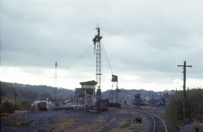
Photos of Derwenthaugh Coal Factory
Photographs Of Derwenthaugh
(5 photos)
Last updated September 17th 2015 by
simonrail

Historic Photographs Of Derwenthaugh
(0 photos)
Last updated September 16th 2015 by
simonrail
Google Earth Map of Derwenthaugh Coal Factory
Other location/mapping information:
Latitude: 54.9477055374429
Longitude: -1.70021270973947
Landranger grid reference: NZ192615
Easting: 419200
Northing: 561500