Dark Lane Limestone Quarry (United Kingdom)
Small Quarry mid point along the former Killers Quarry branch from Steeplehouse to Middleton Quarry, now used by the Steeplehouse narrow gauge railway.
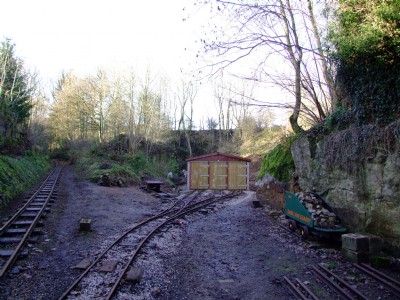
Photos of Dark Lane Limestone Quarry
Photographs Of Dark Lane
(1 photo)
Last updated November 19th 2008 by
ICLOK

Historic Photographs Of Dark Lane
(0 photos)
Last updated November 18th 2008 by
ICLOK
Google Earth Map of Dark Lane Limestone Quarry
Other location/mapping information:
Latitude: 53.0968
Longitude: -1.57434
Landranger grid reference: SK286556
Easting: 428600
Northing: 355600