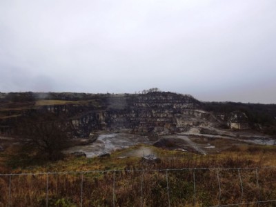
Dale (Wirksworth) Limestone Quarry (United Kingdom)
Lies to the south of the Middle Peak Quarry, although was was broken in to via Middle Peak
Photos of Dale (Wirksworth) Limestone Quarry
Photographs Of Dale (Wirksworth)
(9 photos)
Last updated December 8th 2012 by
LeeW

Historic Photographs Of Dale (Wirksworth)
(0 photos)
Last updated December 8th 2012 by
LeeW
Google Earth Map of Dale (Wirksworth) Limestone Quarry
Other location/mapping information:
Latitude: 53.0839753520685
Longitude: -1.57893775032707
Landranger grid reference: SK282542
Easting: 428200
Northing: 354200