Crew's Hole Pits (Crews) Coal Mine (United Kingdom)
Information, history photographs (current and archive) and documents for Crew's Hole Pits Coal Mine.
Photos of Crew's Hole Pits Coal Mine
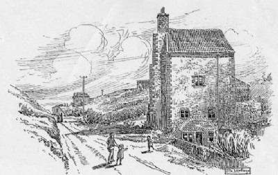
Historic Photographs Of Crew's Hole Pits
(1 photo)
Last updated January 10th 2009 by
ICLOK
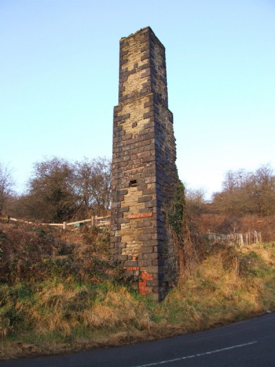
Photographs Of Crew's Hole Pits
(3 photos)
Last updated January 10th 2009 by
ICLOK
Google Earth Map of Crew's Hole Pits Coal Mine
Other location/mapping information:
Latitude: 51.4539
Longitude: -2.53532
Landranger grid reference: ST629729
Easting: 362900
Northing: 172900