Home > Mines, Quarries & Sites > Coed Y Chwarel Slate Mine

Coed Y Chwarel Slate Mine (United Kingdom)


Information, history photographs (current and archive) and documents for Coed Y Chwarel Slate Mine.

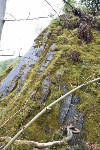
Photos of Coed Y Chwarel Slate Mine

Photographs Of Coed Y Chwarel
Photographs Of Coed Y Chwarel (2 photos)
Last updated May 14th 2016 by Roadman
Historic Photographs Of Coed Y Chwarel
Historic Photographs Of Coed Y Chwarel (0 photos)
Last updated January 1st 1900 by simonrl

Google Earth Map of Coed Y Chwarel Slate Mine


Other location/mapping information:

Latitude: 52.6705
Longitude: -3.73171
Landranger grid reference: SH830095
Easting: 283000
Northing: 309500

Documents for Coed Y Chwarel Slate Mine

Sorry, there are no documents currently available. If you have any documents you can share please click the 'Upload a Document' tab.

Major Mining Region


Coed Y Chwarel Slate Mine belongs to the Corris & Southern Merioneth/Meirionnydd region.

See also:

Coed Y Chwarel Slate Mine was served by:

Hendre-Ddu Slate Tramway

See more:

All slate mines in United Kingdom (SH)
All slate mines in United Kingdom