Cockshaw (Ayton Banks) Alum Shale Quarry (United Kingdom)
Information, history photographs (current and archive) and documents for Cockshaw Alum Shale Quarry.
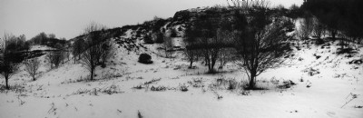
Photos of Cockshaw Alum Shale Quarry
Photographs Of Cockshaw
(1 photo)
Last updated January 27th 2010 by
RJV

Historic Photographs Of Cockshaw
(0 photos)
Last updated January 27th 2010 by
RJV
Google Earth Map of Cockshaw Alum Shale Quarry
Other location/mapping information:
Latitude: 54.4891
Longitude: -1.09228
Landranger grid reference: NZ589108
Easting: 458900
Northing: 510800