Clitters United Mixed Mine (United Kingdom)
Parish: GUNNISLAKE
Data courtesy of Roy Fellows and Roy Morton
Photos of Clitters United Mixed Mine
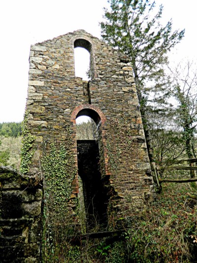
Photographs Of Clltters United
(7 photos)
Last updated January 27th 2013 by
andywipes

Historic Photographs Of Clltters United
(0 photos)
Last updated December 31st 2007 by
royfellows
Google Earth Map of Clitters United Mixed Mine
Other location/mapping information:
Latitude: 50.5264
Longitude: -4.22906
Landranger grid reference: SX421720
Easting: 242100
Northing: 072000