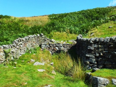
Charger Level Lead Mine (United Kingdom)
Level to the south of Hebden Moor Works alongside the path
NGR of Level: SE 02650 65010
Photos of Charger Level Lead Mine
Photographs Of Charger Level
(1 photo)
Last updated August 26th 2013 by
LeeW

Historic Photographs Of Charger Level
(0 photos)
Last updated August 26th 2013 by
LeeW
Google Earth Map of Charger Level Lead Mine
Other location/mapping information:
Latitude: 54.0807321903551
Longitude: -1.96025457361335
Landranger grid reference: SE026650
Easting: 402600
Northing: 465000