Cass Rock Alum Shale Quarry (United Kingdom)
Originally an alum shale quarry between 1776 and 1805. In 1929 an aerial ropeway was installed to dump waste from the Spa Woods ironstone mine into the quarry
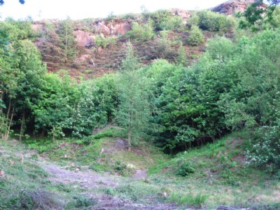
Photos of Cass Rock Alum Shale Quarry
Photographs Of Cass Rock
(3 photos)
Last updated July 18th 2012 by
christwigg

Historic Photographs Of Cass Rock
(0 photos)
Last updated July 18th 2012 by
christwigg
Google Earth Map of Cass Rock Alum Shale Quarry
Other location/mapping information:
Latitude: 54.5226389351045
Longitude: -1.02655295450231
Landranger grid reference: NZ630146
Easting: 463000
Northing: 514600