Carnon Stream Works Mixed Mine (United Kingdom)
Data courtesy of Roy Fellows and Roy Morton
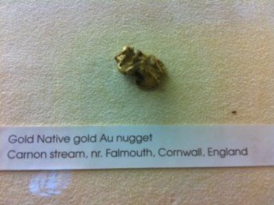
Photos of Carnon Stream Works Mixed Mine
Photographs Of Carnon Stream Works
(1 photo)
Last updated November 7th 2013 by
LeeW

Historic Photographs Of Carnon Stream Works
(0 photos)
Last updated December 31st 2007 by
royfellows
Google Earth Map of Carnon Stream Works Mixed Mine
Other location/mapping information:
Latitude: 50.2058
Longitude: -5.07324
Landranger grid reference: SW808385
Easting: 180800
Northing: 038500