Camerton Old Colliery Coal Mine (United Kingdom)
Information, history photographs (current and archive) and documents for Camerton Old Colliery Coal Mine.
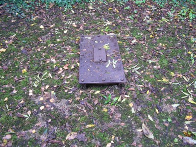
Photos of Camerton Old Colliery Coal Mine
Photographs Of Camerton Old Colliery
(2 photos)
Last updated October 21st 2014 by
peasedown zebra

Historic Photographs Of Camerton Old Colliery
(0 photos)
Last updated January 25th 2009 by
ICLOK
Google Earth Map of Camerton Old Colliery Coal Mine
Other location/mapping information:
Latitude: 51.3202
Longitude: -2.46058
Landranger grid reference: ST680580
Easting: 368000
Northing: 158000