Bwlch Gorddinan Slate Mine (United Kingdom)
Information, history photographs (current and archive) and documents for Bwlch Gorddinan Slate Mine.
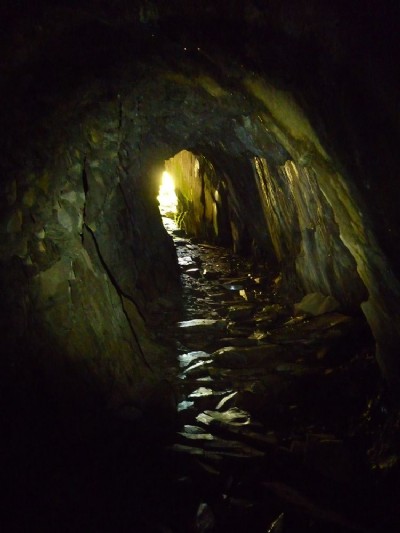
Photos of Bwlch Gorddinan Slate Mine
Photographs Of Bwlch Gorddinan
(5 photos)
Last updated May 5th 2011 by
Teigl

Historic Photographs Of Bwlch Gorddinan
(0 photos)
Last updated January 1st 1900 by
simonrl
Google Earth Map of Bwlch Gorddinan Slate Mine
Other location/mapping information:
Latitude: 53.0197
Longitude: -3.94098
Landranger grid reference: SH699487
Easting: 269900
Northing: 348700