Bryneglwys (Abergynolwyn) Slate Mine (United Kingdom)
Information, history photographs (current and archive) and documents for Bryneglwys (Abergynolwyn) Slate Mine.
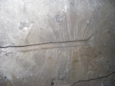
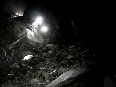
Photos of Bryneglwys (Abergynolwyn) Slate Mine

Historic Photographs Of Bryneglwys
(7 photos)
Last updated January 23rd 2021 by
Eddie Forrester
Photographs Of Bryneglwys
(127 photos)
Last updated October 27th 2020 by
Eddie Forrester
Bryneglwys - Wales Weekend 2011
(20 photos)
Last updated July 12th 2011 by
lab rat
Google Earth Map of Bryneglwys (Abergynolwyn) Slate Mine
Other location/mapping information:
Latitude: 52.6207943837043
Longitude: -3.93248608974324
Landranger grid reference: SH691043
Easting: 269100
Northing: 304300