Blairskaith (Linn Caves) Limestone Mine (United Kingdom)
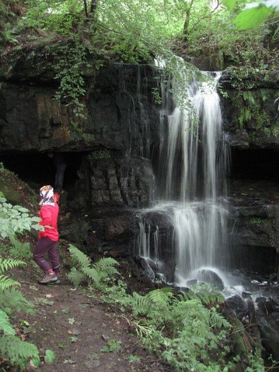
Stoop and room working of limestone behind a waterfall
Photos of Blairskaith Limestone Mine
Photographs Of Blairskaith
(2 photos)
Last updated February 26th 2014 by
tiger99

Historic Photographs Of Blairskaith
(0 photos)
Last updated February 26th 2014 by
tiger99
Google Earth Map of Blairskaith Limestone Mine
Other location/mapping information:
Latitude: 55.9536423617415
Longitude: -4.25851605389146
Landranger grid reference: NS590757
Easting: 259000
Northing: 675700