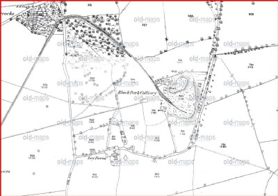
Black Park Coal Colliery (United Kingdom)
Information, history photographs (current and archive) and documents for Black Park Coal Colliery.
Photos of Black Park Coal Colliery
Historic Photographs Of Black Park
(2 photos)
Last updated November 16th 2015 by
Lister

Photographs Of Black Park
(0 photos)
Last updated September 13th 2011 by
Lister
Google Earth Map of Black Park Coal Colliery
Other location/mapping information:
Latitude: 52.946037850964
Longitude: -3.04265167527297
Landranger grid reference: SJ299392
Easting: 329900
Northing: 339200