Birch Coppice 1 & 2 (Hall End) Coal Colliery (United Kingdom)
Information, history photographs (current and archive) and documents for Birch Coppice 1 & 2 Coal Colliery.
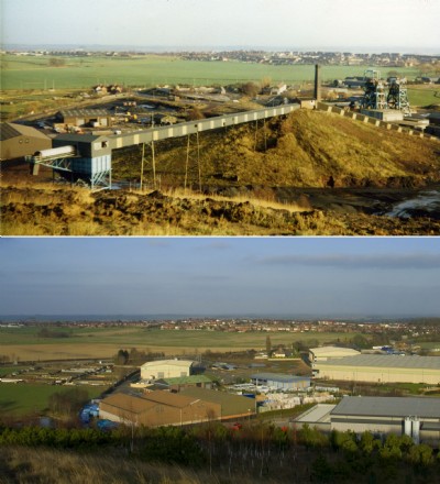
Photos of Birch Coppice 1 & 2 Coal Colliery
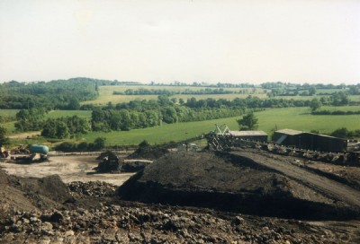
Photographs Of Birch Coppice
(39 photos)
Last updated March 9th 2013 by
oildrum
Historic Photographs Of Birch Coppice
(9 photos)
Last updated March 6th 2011 by
Gerald Boss
Google Earth Map of Birch Coppice 1 & 2 Coal Colliery
Other location/mapping information:
Latitude: 52.5959584428708
Longitude: -1.62940289859004
Landranger grid reference: SP251999
Easting: 425100
Northing: 299900