Big Pit (Blaenavon) Coal Colliery (United Kingdom)
Information, history photographs (current and archive) and documents for Big Pit (Blaenavon) Coal Colliery.
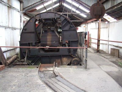
Photos of Big Pit (Blaenavon) Coal Colliery
Photographs Of Big Pit
(15 photos)
Last updated February 4th 2017 by
ttxela

Historic Photographs Of Big Pit
(0 photos)
Last updated July 17th 2008 by
Guest
Google Earth Map of Big Pit (Blaenavon) Coal Colliery
Other location/mapping information:
Latitude: 51.7727
Longitude: -3.10577
Landranger grid reference: SO238088
Easting: 323800
Northing: 208800