Battishill Down Lead Mine (United Kingdom)
Information, history photographs (current and archive) and documents for Battishill Down Lead Mine.
Photos of Battishill Down Lead Mine
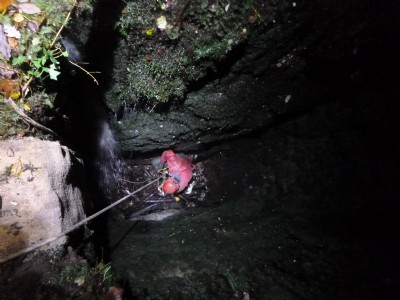
Photographs Of Battishill Down
(3 photos)
Last updated November 24th 2020 by
tracyclimber

Historic Photographs Of Battishill Down
(0 photos)
Last updated March 14th 2009 by
ICLOK
Google Earth Map of Battishill Down Lead Mine
Other location/mapping information:
Latitude: 50.6565
Longitude: -4.10222
Landranger grid reference: SX515862
Easting: 251500
Northing: 086200