Barras End Low Level Lead Mine (United Kingdom)
Information, history photographs (current and archive) and documents for Barras End Low Level Lead Mine.
Photos of Barras End Low Level Lead Mine

Historic Photographs Of Barras Low Level
(0 photos)
Last updated January 8th 2017 by
christwigg
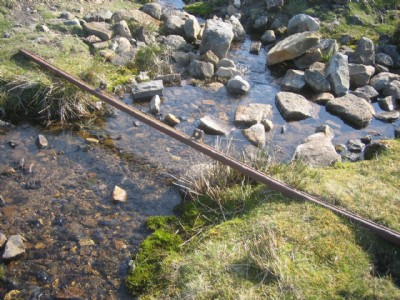
Photographs Of Barras Low Level
(4 photos)
Last updated October 30th 2016 by
Red78
Google Earth Map of Barras End Low Level Lead Mine
Other location/mapping information:
Latitude: 54.4016221759074
Longitude: -2.01232462386636
Landranger grid reference: NY992007
Easting: 399200
Northing: 500700