Barmouth (Belle Vue) Manganese Mine (United Kingdom)
Information, history photographs (current and archive) and documents for Barmouth Manganese Mine.
Photos of Barmouth Manganese Mine
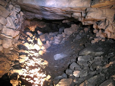
Photographs Of Barmouth
(3 photos)
Last updated January 31st 2008 by
LAP

Historic Photographs Of Barmouth
(0 photos)
Last updated January 31st 2008 by
LAP
Google Earth Map of Barmouth Manganese Mine
Other location/mapping information:
Latitude: 52.7238
Longitude: -4.05516
Landranger grid reference: SH613160
Easting: 261300
Northing: 316000