Auchinlongford Iron Mine (United Kingdom)
Information, history photographs (current and archive) and documents for Auchinlongford Iron Mine.
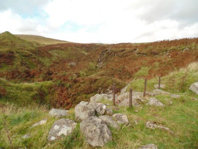
Photos of Auchinlongford Iron Mine
Photographs Of Auchinlongford
(6 photos)
Last updated September 21st 2016 by
Rab.

Historic Photographs Of Auchinlongford
(0 photos)
Last updated November 22nd 2007 by
Captain Scarlet
Google Earth Map of Auchinlongford Iron Mine
Other location/mapping information:
Latitude: 55.5419
Longitude: -4.21393
Landranger grid reference: NS604298
Easting: 260400
Northing: 629800