Abram Colliery No 1 & 2 Pits Coal Mine (United Kingdom)
Sunk around 1873 and amalgamated into Bickershaw in 1933, closed 1934 but loco shed remained open.
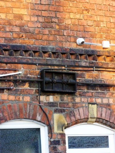
Photos of Abram Colliery No 1 & 2 Pits Coal Mine
Abram No 1 & 2 Pits Visit
(13 photos)
Last updated June 5th 2013 by
ICLOK

Historic Photographs Of Abram Colliery No 1 & 2 Pits
(0 photos)
Last updated June 5th 2013 by
ICLOK
Photographs Of Abram Colliery No 1 & 2 Pits
(0 photos)
Last updated June 5th 2013 by
ICLOK
Google Earth Map of Abram Colliery No 1 & 2 Pits Coal Mine
Other location/mapping information:
Latitude: 53.5086200105472
Longitude: -2.56098145400239
Landranger grid reference: SD628015
Easting: 362800
Northing: 401500