Home > Mines, Quarries & Sites > Abercwmeiddaw Slate Mine

Abercwmeiddaw Slate Mine (United Kingdom)


Information, history photographs (current and archive) and documents for Abercwmeiddaw Slate Mine.

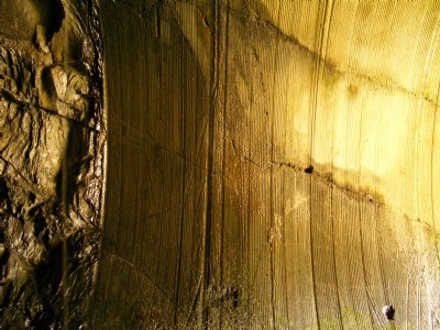
Photos of Abercwmeiddaw Slate Mine

Photographs Of Abercwmeiddaw
Photographs Of Abercwmeiddaw (33 photos)
Last updated August 15th 2018 by Leaf
Historic Photographs Of Abercwmeiddaw
Historic Photographs Of Abercwmeiddaw (0 photos)
Last updated July 17th 2008 by Guest

Google Earth Map of Abercwmeiddaw Slate Mine


Other location/mapping information:

Latitude: 52.6696
Longitude: -3.8559
Landranger grid reference: SH746096
Easting: 274600
Northing: 309600

Documents for Abercwmeiddaw Slate Mine

Sorry, there are no documents currently available. If you have any documents you can share please click the 'Upload a Document' tab.

Major Mining Region


Abercwmeiddaw Slate Mine belongs to the Corris & Southern Merioneth/Meirionnydd region.

See also:

Abercwmeiddaw Slate Mine was served by:

Corris Slate Railway

See more:

All slate mines in United Kingdom (SH)
All slate mines in United Kingdom